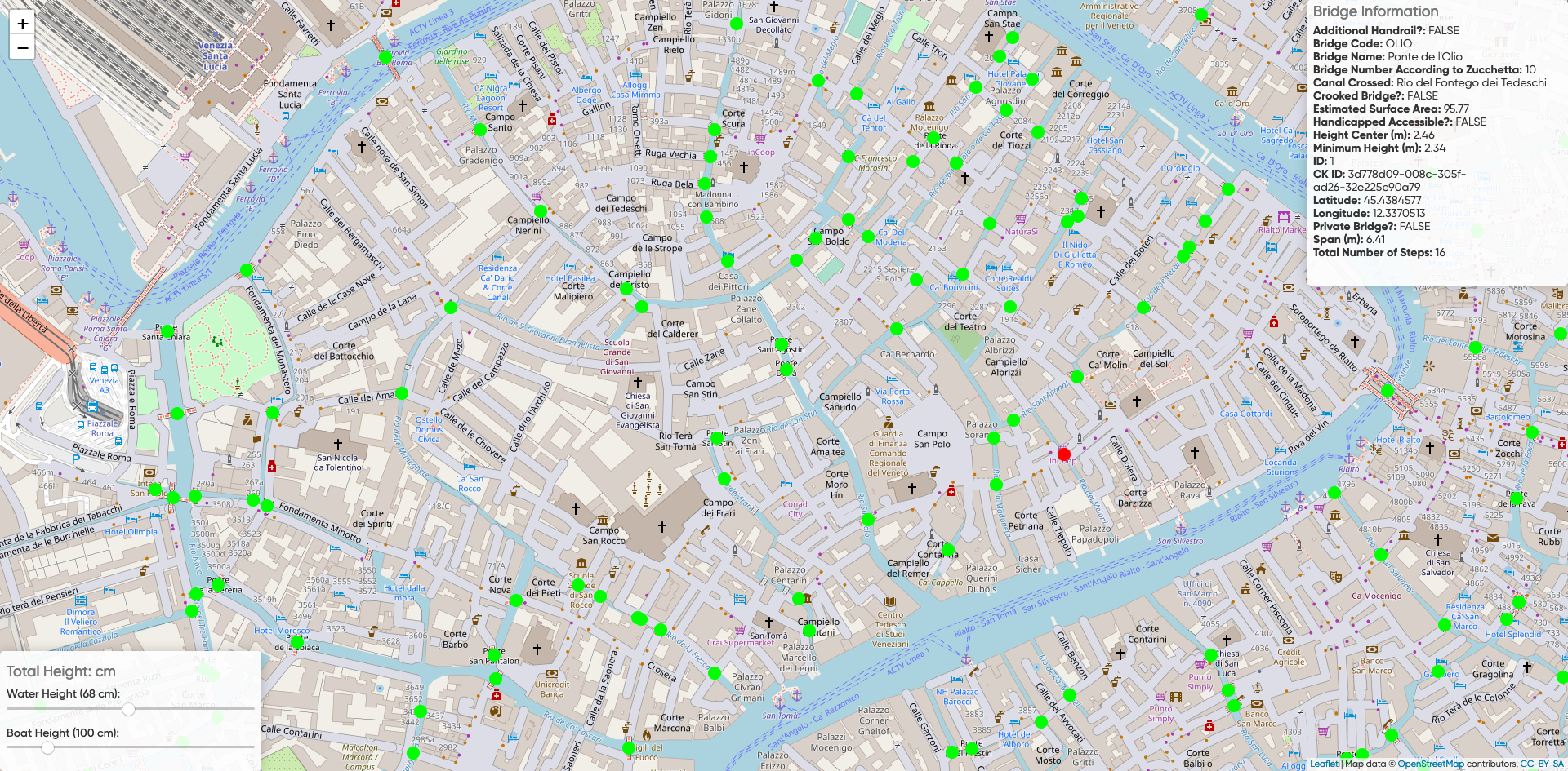
Bridges Visualization
This application displays the location of all of the bridges in Venice, as well as their outline and information on a selected bridge. The map also displays which bridges are passable (green) or impassable (red) for boats of various heights at different sea levels. The sea level on the map defaults to the most recent water height measurement.
Instructions
Click the PLUS/MINUS button in the top left to zoom in or out on a bridge. Select WATER HEIGHT to change the water level in the city. Choose a BOAT HEIGHT to see whether or not a bridge is passable. Hover over a bridge to see detailed information on the bridge.